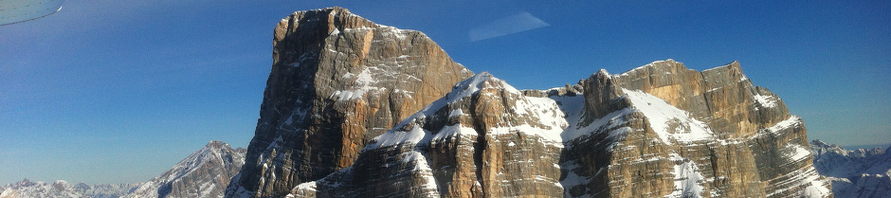
Probably most of you will think of Arizona as one flat desert place, but that is quite a mistake. Actually 70% or Arizona surface is covered by mountainous terrain. It is true though that 90% of the population do live in the arid and flat part of the state and a large portion of that population is specifically concentrated in the Phoenix metropolitan area.
From Chandler, one of the suburbs south of Phoenix where I keep my airplane hangared, it takes less than 10 min. of flying time to get to 8,000 ft peaks, canyons and lakes of breathtaking beauty.
This Sunday I had a special mission. Dick, my neighbor, was planning one of his fishing expeditions along the Salt River. He typically adventures in such remote areas with his jeep relying on his GPS and the available topo maps, but this time he had asked me to help him prospect the area by the air before adventuring further in where his maps were showing no access.
The air was extremely smooth on a freezing, but sunny, morning like only Arizona can offer in January. We transitioned over Falcon Field and then climbed to 6,000 feet to reach lake Roosvelt and proceed on to follow the Salt River.

My mistake was not to bring the digital camera with me this time so, I apologize in advance, you will have to rely only on the few low-res pictures we took with my cell phone camera…
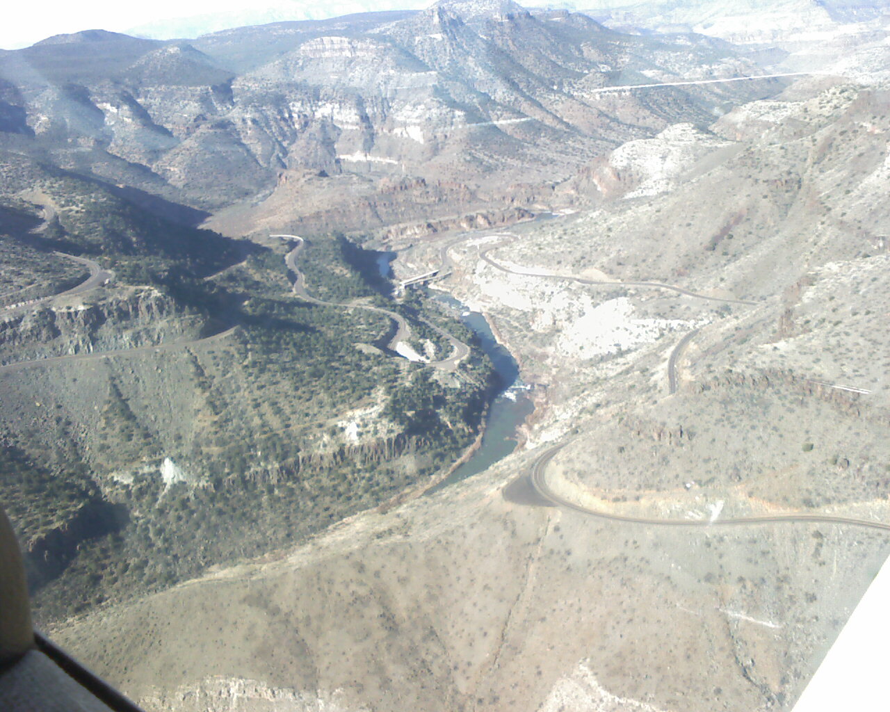
After approx. 30min. we passed the gorge, where the only bridge that crosses the river takes the highway 60 north toward Showlow, and we continued East along the steeper part of the river canyons.
There was still snow on the canyon walls covered partially by forest and exposed to the North.
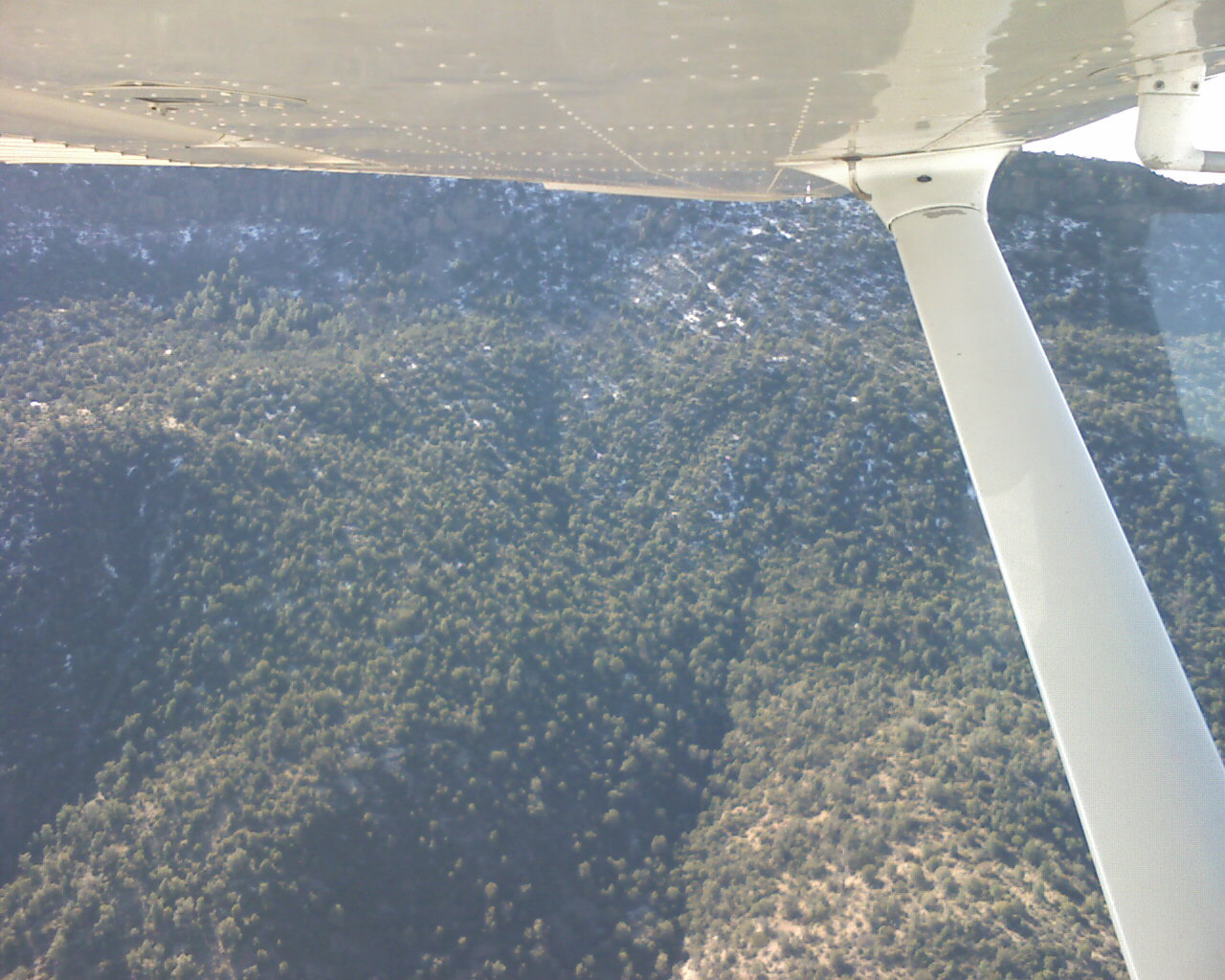
We followed several faint tracks and marked the points on the plane’s GPS where we believed they could be usable to reach the river.
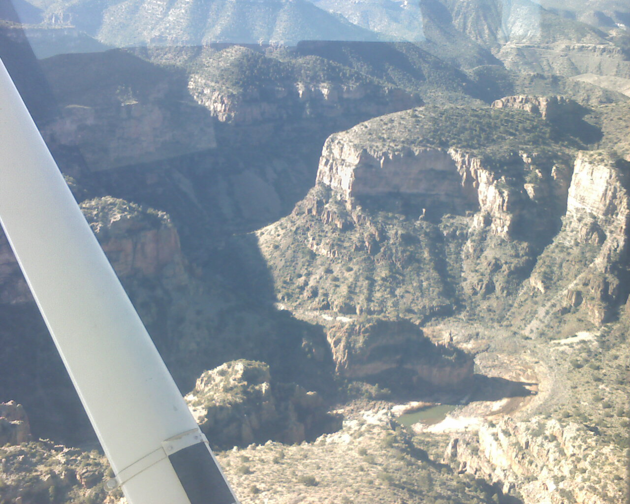
Flying slowly and following the river twists and turns, after about an hour, we reached the point where the Black river and White river merge. A few miles further up, we landed at WhiteRiver(E24), deep inside the Apache Indian reservation, for a little rest.
For our return, we picked a lazy and panoramic route west, passing over the huge mines of Miami (AZ)
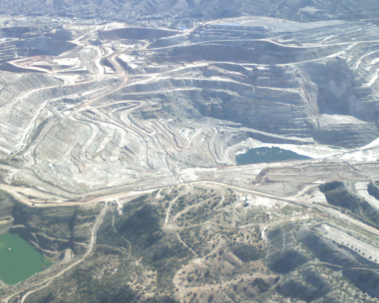
overflying Superior and then reaching Chandler back from the south east, just skimming the San Tan mountains and the busy Williams airport airspace.
2.8 hours of cross country flying in smooth clear air, pure bliss!


Hi,
I read your flying with PIC24 book. Your book provides me with strong basic knowledge of programming pic in C and its architecture.
Since this is my first time flying with PIC programming-beginner level, i would like to suggest for you to provide a forum for this books reader, so it would enable both of us (readers-writer) to make maximize profit by changing ideas and knowledges.
Best regards,
Vanila.fevret
Thanks for your nice words. There is in fact already a Microchip hosted forum available for the PIC24 users (beginners and experts):
All Forums >> [16 bit Microcontrollers & Digital Signal controllers] >> PIC24 Topics
Here is a shortcut: http://forum.microchip.com/tt.aspx?forumid=179
Although if you were suggesting that I should manage a book-specific forum … I am not sure I am ready to sign up for so much work.
You would need to clear it with my wife first! 😀
P.S. Readers’ emails to the pilot@flyingpic24.com are always welcome though and I try hard to respond to everybody as fast as I can.